One of the oldest settlements of the Shirak Marz is the village of Marmashen (Verin Ganlidzha), located on the left bank of the Akhuryan River of historical Shirak and gradually moved to the southeast. The village is located at an altitude of 1600m. above sea level. It finally established itself on the settlement of Tirashen which was devastated during the Mongol invasions. Sargis Jalalyants in his book “Journey to the Great Armenia” notes: “In the upper part of the village there is the Vagramashen fortress, on the hill there is a big bell, which was destroyed by the Agaratians.” The village is rich in historical and cultural monuments. During the Urartian period, during the expeditions undertaken to the north, the Fortress was reconstructed and strengthened.
From this fortress and nearby tombs, various objects of material culture dated to the III-I millennium BC were discovered. Around the top of a height resembling a mountain, and located to the north of the gorge, and on its slopes the ruins of both ancient and subsequently built fortresses are clearly visible.
Vahram Magister Pahlavuni, Commander-in-chief of the Armenian Armed Forces, reconstructs this pre-Christian ancient fortress and makes it one of the reliable defensive strongholds (X century). And from this period the fortress was traditionally called “Vahramashen” or “Vahramaberd”. The Fortress is bordered on three sides by high, inaccessible stones, and on the south side is connected by a narrow layer to the gorge. It is surrounded by fortress walls, which are lined with rough large stones, without lime.
In this regard, the famous architect Toros Toramanian writes: “… in the vicinity (of the fortress), traces of human handwork of the pre-Christian period are visible in some way, ruins of walls lined with large stones, hollows, small mounds of land mixed with stones resembling cemeteries.” The entrance to the Fortress was almost on the south side, huge pyramids were built on both sides of the door, semicircular in appearance, the ruins and foundations of which are visible,
For the construction of the Vahramashen fortress, volcanic rocks of red and yellowish colors, turned and of moderate size were used. The Fortress has a narrow and long shape, stretched from south to north in which buildings designed for living were built. Only the foundations of these buildings now remain.
In all probability, on the top of the Fortress there was not only the ancestral fortress of the Urartian period, but also a deep cave dug at the bottom of the mountain on which the cave stands. The entrance to this cave was located on the north side of the Fortress, in a small gorge formed by flooding in the valley at the bottom of the mountain. To the south of the village of Marmashen, on the natural rock of the gorge, King Argishti I left a four-line cuneiform inscription which in historical literature is known as the “Ganligi pole inscription”. By the greatness of Khaldi (God), Argishti says,
“I have conquered the country of Eriakh (tribe)
(I) conquered Irdanuni (city) to Ishkigulu (country)”
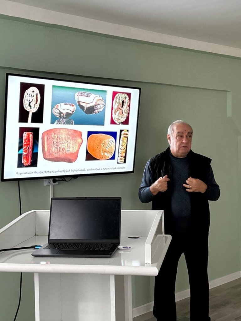
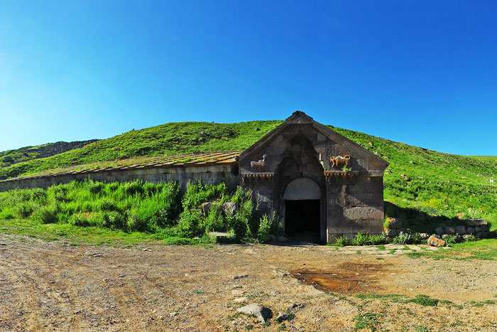
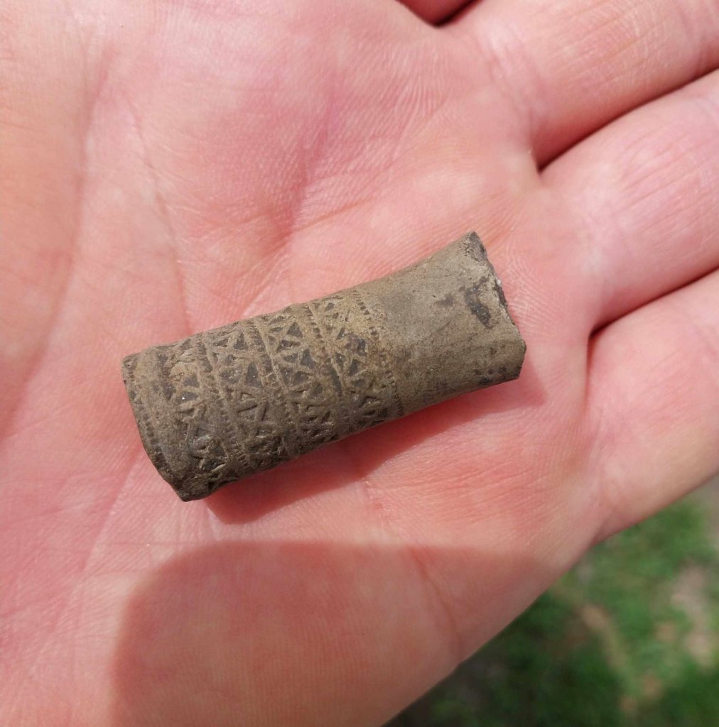
According to researchers, the mentioned country of “Eriakhi (tribe)” is the Shirak field, and “Irdanuni” (city) is its administrative center. Underground dwellings were opened in the pumice mines near the village of Marmashen in 1939. Similar dwellings were also found in the villages of Azatan, Vardakhpyur, Chakhmakh, Pokr (Small) Sariar and Kefli of Eastern Shirak.
Speaking about underground dwellings, Hovsep Yeghiazaryan writes: “…There was also a large underground apartment, round in plan which was discovered at the top of a hilly height. The entrance to the apartment was from the roof, by a ladder. From this apartment in the south-west and north-west directions, on the slopes of a hilly height, rows of apartments stretched”.
From the first row, two apartments have been preserved in one piece, and from the second one – one. The rest are ruined. Various clay vessels, rotten pieces of wooden furniture, an iron rod with a hook-shaped end and other objects were found from the first apartment. From another apartment – pieces of pottery. The most rich in fragments of pottery, bones of various birds and animals and other objects is a round-shaped large apartment.
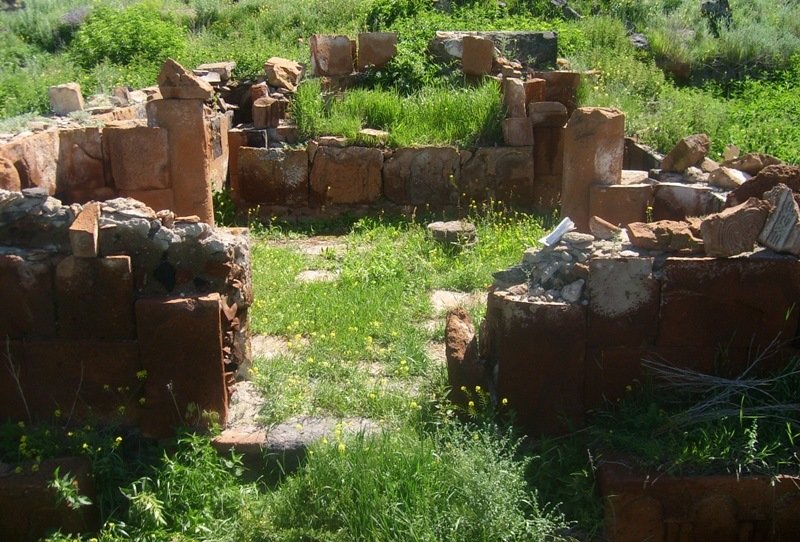
To the south-east of the village of Marmashen (2 km), on a triangular promontory with steep slopes on three sides is the Tirashen fortress (from the III-II millennium BC to the X century). The walls are built in a double frame of large and medium-sized rough-turned stones. The plan is adapted to the terrain.
On a plane surrounded by a rocky gorge about 200 m to the northwest and south of the Fortress, a multi-layered settlement, a mausoleum field and a settlement (III-I millennia BC) are spreading. At a depth of about 1.5-2 m, structures with a rectangular plan (III-II millennia BC) and objects of material culture of the ancient period were discovered. Near the Fortress the settlement “Tirashen” has preserved (IV-XI centuries) with the remains of its cross-shaped church, a square monument (VI-VII centuries) and a cemetery (IV-XI centuries)
References:
- S.Jalalyants – Journey to Great Armenia, Part a, Tpkhis (Tiflis), 1842:
- T. Toramanyan – Materials on the History of Armenian Architecture, vol.2, Yerevan, 1948:
3.H. Yeghiazaryan – Historical monuments of Shirak, Yerevan 1975:
- N. Harutyunyan – Corpus of Urartian wedge-shaped inscriptions, Yerevan, 2001, text 179: