At an altitude in the southern and western part of Tsovak village, a fortress was founded at the beginning of the 1st millennium. On the territory of the fortress there are cultural layers characteristic of the 11th-19th centuries. and a number of monuments. The fortress with its settlement is quite large and spacious, occupied an area of about 3.5 sq. km. On the Tsovak-Lchavan road, the territory of the fortress is divided into two parts.
The fortress includes 18 sub-monuments, the main of which are the cemetery of the 11th-12th centuries / gosindex: 4.51.1.2/, the church of 1718, which is currently in a ruined state /gosindex: 4.51.1.3/, khachkars and a complex of cave dwellings / gosindex: 4.51.1.8/
According to the available data, the conquerors of the Van kingdom, having reached this fortress, defeated its owners, destroyed the fortress and, according to their requirements, rebuilt it. From the cuneiform script they left, we learn that the fortress with the surrounding area was called the Country of Arkukini.
On the northern ledge of the fortress there is a cuneiform inscription left by King Sarduri II in the middle of the 8th century/gosindex: 4.51.1.1/:
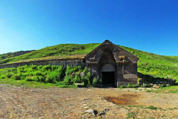
The walls of the fortress are lined with rough basalt stones. The technique of building fortress walls and dwellings is the same: large, seamless basalt stones. On the western edge of the village, 20-30 meters from the cuneiform, there is a complex of cave dwellings. The walls and ceiling of the dwellings are smeared with thick soot. According to the villagers, there was a hearth in the depth of the wall in front of the entrance to the dwellings.
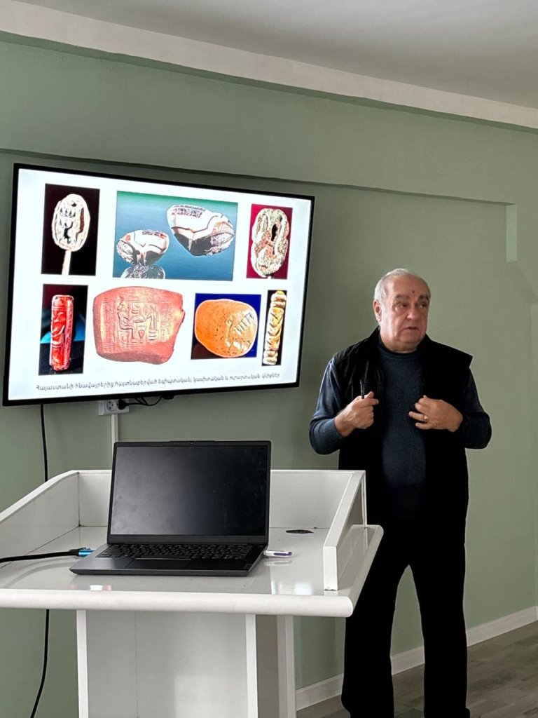
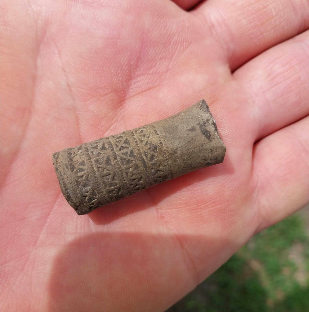
Excavations of tombs in the vicinity of the fortress in 1906 were carried out by Yervand Lalayan. The discovered materials are in the State Museum of Georgia. They are dated mainly to the second half of the 1st millennium.
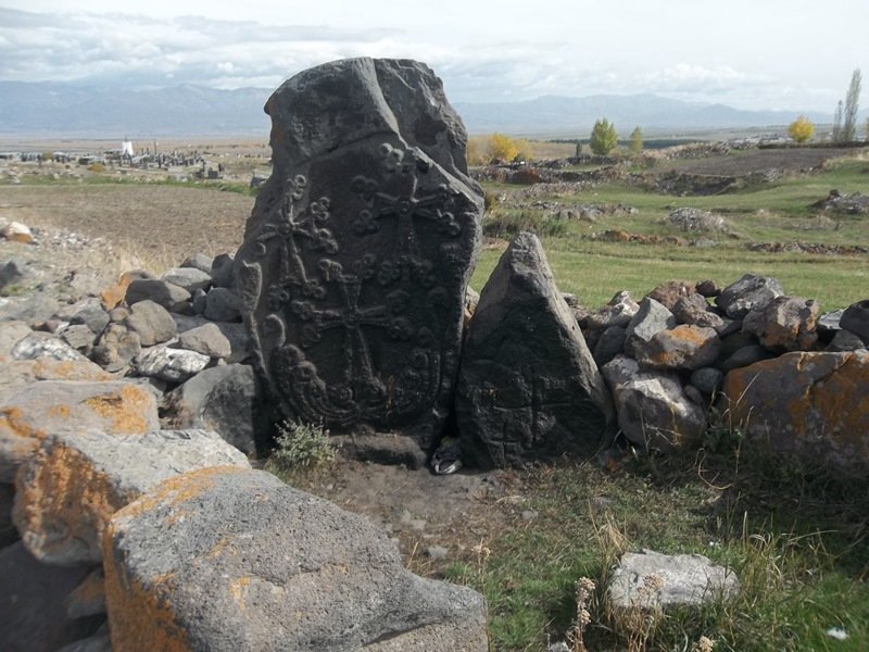
On the north-eastern side of the citadel there is a cemetery of the 11th-20th centuries, where there is a group of khachkars belonging to different dates.
The fortress was also located in 1718. the built church, which is now destroyed:
Used literature and documents:
- G. Mikaelyan: “Cyclopean fortresses of the Sevan basin” Yerevan 1968.,
- State List of immovable historical and cultural monuments of Gegharkunik Marz.