“Vorotnaberd” Fortress (also: Vorotn berd, Vorotan, Oroto) is known since the IV century as one of the prominent and impregnable fortresses in Armenia. Like many other fortresses in Syunik t, the local people associated it with the name of military commander Davit Bek also calling it “Davit Bek’s Castle”. The first historical evidence about the fortress dates back to the V century. According to historian Stepanos Orbelian in 1075-1092 Vortonaberd, together with the surrounding settlements, was under the control of the Syunik Kingdom. In 1103 the Seljuk Turks destroyed the capital Kapan and in 1104 they managed to capture the impregnable Vorotnaberd. 
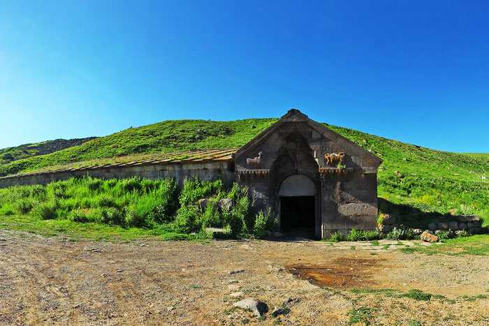
Vorotnaberd remained under the control of the Seljuks for 115 years. In 1210 the Armenian-Georgian armies, led by the Armenian Zakarian (Zakarid) Princes, liberated Vorotnaberd. After it, Vorotnaberd, together with most part of Syunik, was under the authority of Ivane Zakarian. However in the middle of the XIII century, with the efforts of Prince Smbat Orbelian, together with its surrounding settlement, it became the Orbelians’ possession. During the rule of the Mongols Vorotnaberd still remained under the control of the Orbelians. In 1386 the fortress was captured by the army of Lenk Temur. In 1406 or 1407 it was conquered by Qara Yusuf, the leader of the Qara Qoyunlu (Kara Koyunlu) Turkomans. After it, no information is found about Vorotnaber until the beginning of the XVIII century. Vorotnaberd is mentioned again during the liberation of Syunik, when Davit Bek, the leader of the liberation movement of Syunik, reached Kapan and took control of Vorotnaberd on 29 March 1724. It is noteworthy that Vorotnaberd, together with Vorotnavank, was part of a bicentric defense system. The aim of the Vorotnaberd-Vorotnavank system was to protect the important administrative and economic center of Shaghat “village and rural municipality”. The walls of Vorotnaberd built with rough basalt stones were two-layered, consisting of an exterior wall and an interior wall. The citadel of the fortress had an underground passageway leading to the River Vorotan.

Vorotnaberd became even more important due to the fact that a trade route of secondary importance passed through the valley. The route started from Nakhijevan, then passed through the territory of Tsghuk province, near the observation points of many fortresses, wound through Baghk and Arevik provinces went down to Karchevan where it joined the Julfa-Paytakaran international trade route.
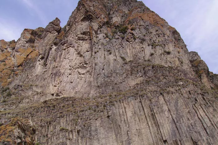
Since the XIX century it has not been mentioned as a standing fortress. The fortress has the shape of a saddle stretching north-west-south-east. On the three sides it is surrounded by impregnable basalt rocks and only on the southwestern side it is fenced by high tower walls, where the fragments of the ruined castle are still preserved.